Jerramungup Shire
The Shire’s Vision Statement is to create a “Progressive, Prosperous and a Premium Place to Live and Visit”
The Shire includes two major townsites being Jerramungup, and Bremer Bay with smaller localities being Boxwood Hills, Gairdner, Jacup and Needilup.
The Shire of Jerramungup lies within the Wagyl Kaip region which is acknowledged as being the traditional lands of the Noongar People who since time immemorial have inhabited the lands and are acknowledged to have a continuing living cultural, spiritual, familial and social relationship with Noongar boodja (Noongar earth) and the Shire pays its respect to elders past and present.
About the area
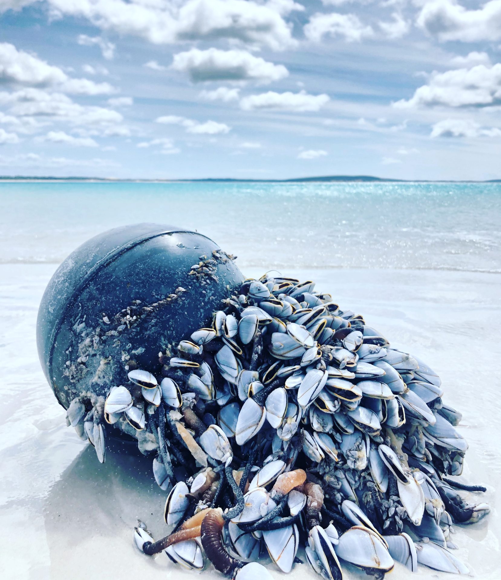
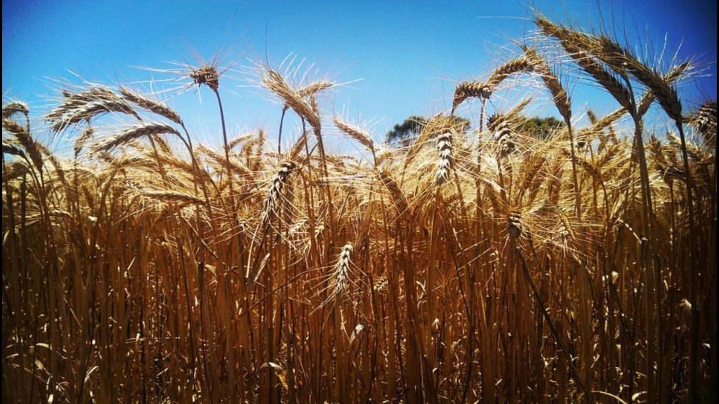
The Shire is located within the Great Southern region of Western Australia, 180 kilometres northeast of Albany and 440 kilometres southeast of the state capital, Perth. The Shire covers an area of 6,507 square kilometres and has a population of approximately 1,200. The area is recognised as a strong agricultural region for grain and livestock production, with high biodiversity values, strong tourism potential and various mining prospects. The Shire is recognised internationally for its biodiversity and human interaction with the landscape.
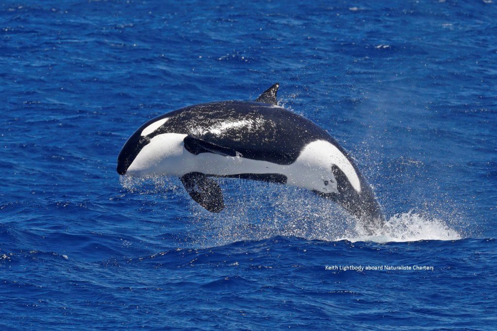
The area is also synonymous with a unique and picturesque natural environment highlighted by the presence of the Fitzgerald River National Park and the Bremer Canyon. The Fitzgerald River National Park, located east of Jerramungup and Bremer Bay, and easily accessible from both towns, is one of the largest national parks in Australia. It contains 20 per cent of the State’s described plant species. The park covers 329,039 hectares and is one of the most diverse botanical regions in the world, featuring more than 1,800 species of plants. The Fitzgerald River National Park (FRNP) forms the core of the Fitzgerald Biosphere, one of Western Australia’s two internationally recognised Biosphere Reserves, designated under the UNESCO Man and the Biosphere Program.
Climate Priorities
The shire is working towards the development of a Climate Change Policy that will assist to inform and implement strategies to address climate change and the way in which the Council may respond in respect to those challenges.
The Shire through the agency of the South Coast Alliance of Local Governments has taken the initial steps of developing a response to the challenge of climate change by investing in the development of regional approaches to measuring and identifying sources of greenhouse gas emissions.
The capture of this base line data will enable the Shire to begin to better identify the major source of emissions and develop strategies to reduce the levels of greenhouse gas emissions created through the Shire’s routine business activities.
It is anticipated that as capacity and knowledge in this area expands the Shire will seek to engage more broadly with our community.
At a glance
On this page
Get in Touch
The Shire of Jerramungup Administration Office is located at 8 Vasey Street Jerramungup and also has an office located at 7 Mary Street Bremer Bay.
Shire Administration
(08) 9835 1022